
Categories
Living In Eastern IdahoPublished September 11, 2026
Moving to Idaho Falls? Here's What Summer Really Looks Like (2026 Driving Tour)

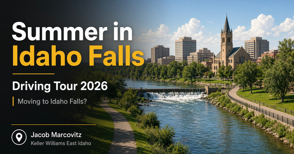
Watch on YouTube: Moving to Idaho Falls? Here's What Summer Really Looks Like (2026 Driving Tour)
If you have never visited Eastern Idaho, summer is when Idaho Falls shows its true colors — bright green trees, full riverbanks, and a town layout you can actually learn in one drive. In this ~22-minute tour I take you from Idaho Falls Regional Airport through Snake River Landing, the Greenbelt and falls, downtown, the INL in-town buildings, Tautphaus Park, the hospital corridor, and out to Hitt Road where Idaho Falls meets Ammon.
I filmed a winter driving tour back in February when everything looked dormant. This is the same city awake.
Start at Idaho Falls Regional Airport (IDA)
Most relocators fly in first, so that is stop one. IDA is a small, manageable airport with short TSA lines, simple parking, rental cars on site, and easy curb pickup. You will often connect through Salt Lake City or Denver for longer trips; some routes are more direct. Convenience is the point: park, pick someone up, or grab bags from one of two claims and you are gone quickly. Economy long-term parking sits close enough that you are not busing across a mega-airport — though winter snow can make that walk colder.
Full airport deep-dive: my separate IDA video (linked in the YouTube description).
West side: Reed's Dairy, the water tower, Snake River Landing
Heading south from the airport on the west side of town, do not skip Reed's Dairy ice cream — family-owned, local favorite, worth putting on your first-visit list.
You will also see the newer Idaho Falls water tower (the old landmark was taken down; locals still feel that one). Then you roll into Snake River Landing: mixed-use with homes, apartments, offices, title/insurance shops, and restaurants like Mackenzie River Pizza, Stockman's Steakhouse, and Buffalo Wild Wings along the river. Moose Ridge Coffee is a popular coffee stop. Walking paths, water features, and landscaping that has matured since the early-2000s build-out make it a strong morning run or dog-walk area. Paths connect toward the broader Greenbelt.
Mountain America Event Center
This is home ice for the Idaho Falls Spud Kings, plus concerts (Luke Bryan, Goo Goo Dolls), comedians (Tom Segura, Theo Von), and events like EnduroCross. In winter it gives the city something to do when it is cold; in summer the outdoor trails around it stay busy.
Heritage Park on the south edge of Snake River Landing is one of the newer river-adjacent parks — quiet picnic and walk space.
Note on Melaleuca fireworks: the big Fourth of July show historically tied to this side of town has been in flux as the area densifies. It has been a huge community driver; watch local updates on whether it relocates.
The Greenbelt, the falls, and downtown
The Greenbelt / River Walk is the everyday heart of summer living here — evening walks, morning runs, bikes, picnics. The loop is long (on the order of ~10 miles when you connect segments). You get the falls that named the city, the art museum, library, water tower area, and easy access from downtown hotels.
Nearby food called out on the tour: Helisco (Mexican), Lucy's Pizza, Sandpiper (river-facing deck). Hotels clustered downtown make this an easy first-visit base.
An overpass heads toward Rexburg and West Yellowstone — a reminder how close outdoor destinations sit. Melaleuca Field (Chukars baseball) and client events (including drone shows) are part of the summer social calendar. The LDS temple and visitor center sit along this corridor; the farmers market runs Saturdays into about October.
Downtown quick hits
Restaurants and shopping, Soly's, Snake Bite burgers, Downtown Ambition gym, Bonneville County Courthouse, City Building, the museum (recent exhibit called out: Life Before Dinosaurs), DMV, and Fire Station 1. Walkable if you are testing the city before you buy.
Idaho National Laboratory (in-town buildings)
The desert site sits toward Arco, but many INL / DOE / contractor offices are in Idaho Falls. That keeps a lot of workers on short drives from Idaho Falls or Ammon instead of a full desert commute every day. The nuclear / micro-reactor work at the main site is part of why relocators weigh this job market carefully.
Related: Idaho National Laboratory Relocation Guide.
South Boulevard → Tautphaus Park (zoo, Funland, sports)
South Boulevard is also parade route territory — Fourth of July parade plus the Firecracker 5K. Tautphaus Park packs a lot into one place: zoo, Funland (small classic amusement area with ferris wheel, carousel, train), baseball/softball and Cal Ripken fields, skate park, tennis/pickleball, grid kid football fields, ice rink (hockey has grown with the Spud Kings), and big green space for dogs and city leagues.
Medical corridor and Sunnyside / 17th shopping
From the park, South Boulevard meets Sunnyside Road (widened east-west artery with walking paths). Established subdivisions peel off both sides — Cedar Estates, Shamrock Park, The Meadows, Spring Creek, and others with homes from the 1970s into the early 2000s; newer product often sits farther back (e.g. toward 49th).
Eastern Idaho Regional Medical Center (EIRMC) anchors the medical cluster with offices nearby. Vet callout from the tour: Countryside.
17th Street is the big retail/business corridor: Albertsons, Sam's Club, Home Depot, Lowe's, Club Apple, Starbucks, Dutch Bros, Blackberry Diner, Tractor Supply, Papa Tom's Pizza, the mall area (Dick's, Barnes & Noble, JCPenney, Dillard's), Al's Sporting Goods, and more. Subdivisions sit off both sides of 17th for almost its full length.
Hitt Road: Idaho Falls vs Ammon
Hitt Road is the practical dividing line. Ammon is left; Idaho Falls is right — close enough that "which city" is often about schools, taxes, and what you want nearby more than distance. A full Ammon tour is coming on the channel. Raising Cane's and Best Buy sit in this edge commercial zone.
How to use this tour if you are relocating
- Watch the embedded video once for layout.
- On a scout trip, fly IDA, grab Reed's, walk Snake River Landing + Greenbelt, drive 17th and Sunnyside, and stand on Hitt Road to feel the Ammon edge.
- Do not buy in week one — use temporary housing while you learn the map.
- If you want a guided day: fly in, hotel + rental car, I pick you up and we tour neighborhoods and homes in your price range.
I am Jacob Marcovitz, Realtor at Keller Williams East Idaho — born and raised in Idaho Falls. Call or text 208-821-6217 or visit eastidahojacob.com/connect.
Related reading
- Driving Tour of Idaho Falls (earlier 2026 tour post)
- Things to Do in Idaho Falls
- INL Relocation Guide

Jacob Marcovitz
| Jacob Marcovitz | Keller Williams Realty East Idaho
or another way